|
©The Archaeological Settlements of Turkey - TAY Project
|
|
|
|
|
|
Birk Harabesi |
|
|
For site maps and drawings please click on the picture...  |
For photographs please click on the photo... 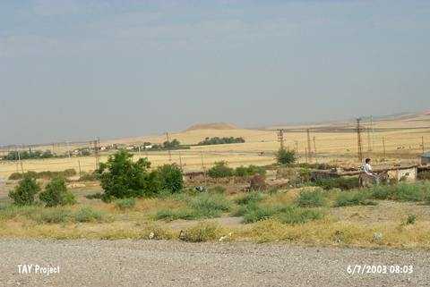 |
|
Type:
|
Mound |
|
Altitude:
|
960 m |
|
Region:
|
Southeastern Anatolia |
|
Province:
|
Siirt |
|
District:
|
Kurtalan |
|
Village:
|
Gürgöze |
|
Investigation Method:
|
Survey |
|
Period:
|
Late |
|
|
|
 |
|
| The mound lies 26.5 km west of Siirt; 4.5 km west of Kurtalan district; 400 m south of Batman-Kurtalan motorway. It is located approximately 1.2 m west of Gürgöze (Aynik) village. The name is attained by us regarding the remains Ğlabeled BirkÑ on the large mound with a height of 25 m and a diameter of 150 m. It is discovered during the 1963 Southeastern Anatolia Survey conducted by the University of Istanbul and Chicago Oriental Institute. Numerous pottery sherds are collected from the surface; and yet Uruk Period finds are debatable. The location code is S 63 / 1. |
| Location: |
| Geography and Environment: |
| History: |
| Research and Excavation: |
| Stratigraphy: |
| Small Finds: |
| Remains: |
| Interpretation and Dating: |