|
©The Archaeological Settlements of Turkey - TAY Project
|
|
|
|
|
|
Bidak |
|
|
For site maps and drawings please click on the picture...  |
For photographs please click on the photo... 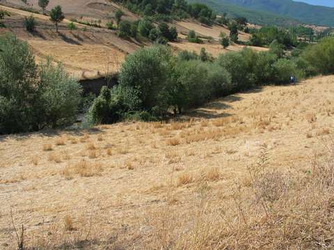 |
|
Type:
|
Flat Settlement |
|
Altitude:
|
510 m |
|
Region:
|
Black Sea |
|
Province:
|
Amasya |
|
District:
|
Tasova |
|
Village:
|
Ballidere |
|
Investigation Method:
|
Survey |
|
Period:
|
EBA I EBA II EBA III |
|
|
|
 |
|
| It is located where it is called Bidak at Daraklik Mevkii; 1.5 km northeast of Ballica Village of Amasya Province. It has been severely damaged by the Taskin Stream. It was discovered in 1994 by a survey team under M. Özsait. Sherds belonging to the EBA I-III were collected from the surface. It is also reported that it has been heavily cultivated. |
| Location: |
| Geography and Environment: |
| History: |
| Research and Excavation: |
| Stratigraphy: |
| Small Finds: |
| Remains: |
| Interpretation and Dating: |