|
©The Archaeological Settlements of Turkey - TAY Project
|
|
|
|
|
|
Beypinari |
|
|
For site maps and drawings please click on the picture...  |
For photographs please click on the photo... 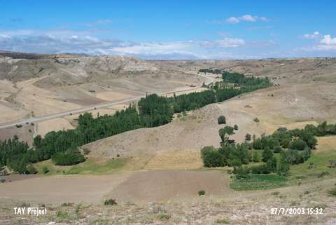 |
|
Type:
|
Mound |
|
Altitude:
|
1400 m |
|
Region:
|
Central Anatolia |
|
Province:
|
Sivas |
|
District:
|
Merkez |
|
Village:
|
Beypinari |
|
Investigation Method:
|
Survey |
|
Period:
|
|
|
|
|
 |
|
| It lies about 1 km north-northwest of Beypinari Sub-District; northeast of Sivas Province. It was documented as a conical mound measuring 20 m in height and 200 m in diameter during a survey conducted by G.E.S. Durbin. The settlement appears in the Sivas Culture Inventory which was achieved after the surveys organized by the Sivas Province Culture and Tourism Directorship between 2009 and 2012. The small sized mound lies down on a natural ridge. Sherds were seen on the surface indicate the existence of EBA, IA and Roman settlements. It takes place in the registered archaeological sites list prepared by Ministry of Culture and Tourism. |
| Location: |
| Geography and Environment: |
| History: |
| Research and Excavation: |
| Stratigraphy: |
| Small Finds: |
| Remains: |
| Interpretation and Dating: |