|
©The Archaeological Settlements of Turkey - TAY Project
|
|
|
|
|
|
Beylerbeyi |
|
|
For site maps and drawings please click on the picture... 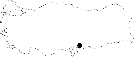 |
For photographs please click on the photo...  |
|
Type:
|
Single Findspot |
|
Altitude:
|
m |
|
Region:
|
Southeastern Anatolia |
|
Province:
|
Gaziantep |
|
District:
|
Merkez |
|
Village:
|
Beylerbeyi |
|
Investigation Method:
|
Survey |
|
Period:
|
AP |
|
|
|
 |
|
| Location: This site lies in the flat area between the villages of Dülük; 10 km north-northwest of the city of Gaziantep; and Beylerbeyi 7 km north of the same city. |
| Geography and Environment: The village of Beylerbeyi lies in the Gaziantep Plain which is flat with the exception of a occasional rolling hills. Because of the high contents of iron-oxide in the soil; the terrain has a reddish appearance; and the chipped stone finds collected here have a reddish brown patina. The exact location of the site has not been described; thus the exact distances between the site and the surrounding villages cannot be provided. |
| History: |
| Research and Excavation: The site was discovered by Refakat Çiner in 1950 during her surface survey in this area. |
| Stratigraphy: |
| Small Finds: In his surface survey; Çiner found a Lower Palaeolithic biface handaxe which she believes is Acheuléen. More information on this tool has not been published. |
| Remains: |
| Interpretation and Dating: |