|
©The Archaeological Settlements of Turkey - TAY Project
|
|
|
|
|
|
Beyköy / Beyköprü |
|
|
For site maps and drawings please click on the picture...  |
For photographs please click on the photo... 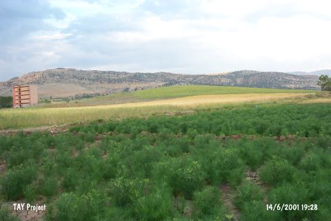 |
|
Type:
|
Mound |
|
Altitude:
|
1270 m |
|
Region:
|
Mediterranean |
|
Province:
|
Burdur |
|
District:
|
Tefenni |
|
Village:
|
Beyköy |
|
Investigation Method:
|
Survey |
|
Period:
|
EBA I EBA II |
|
|
|
 |
|
| It lies about 4 km southeast of Beyköy; 7 km northeast of Çavdir District; southwest of Burdur Province. It is located in a narrow plain between the villages of Beyköy and Karamusa. To the east runs the Burdur-Gölhisar road while to the south flows a stream originating from the Karamusa Kirikköy spring. It was discovered by J. Mellaart under the name of Beyköprü and dated to EBA I-II. It measures 5 m in height and 100x150 m in dimensions. The survey conducted by M. Özsait in 1989 yielded pottery of the EBA I-II and the Late Chalcolithic Age. It takes place in the registered archaeological sites list prepared by Ministry of Culture and Tourism. |
| Location: |
| Geography and Environment: |
| History: |
| Research and Excavation: |
| Stratigraphy: |
| Small Finds: |
| Remains: |
| Interpretation and Dating: |