|
©The Archaeological Settlements of Turkey - TAY Project
|
|
|
|
|
|
Arpakesmez Harabe Mevkii |
|
|
For site maps and drawings please click on the picture...  |
For photographs please click on the photo... 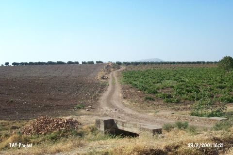 |
|
Type:
|
Mound |
|
Altitude:
|
690 m |
|
Region:
|
Southeastern Anatolia |
|
Province:
|
Kilis |
|
District:
|
Merkez |
|
Village:
|
Arpakesmez |
|
Investigation Method:
|
Survey |
|
Period:
|
|
|
|
|
 |
|
| It is located 2.8 km south of Oylum Höyük; north of the village of Arpakesmez; on the border of Syria; in the province of Kilis. The mound lies in the middle of planted fields and olive groves. It was discovered during the regional survey conducted by Oylum Höyük excavation team and has yielded Middle Age material. |
| Location: |
| Geography and Environment: |
| History: |
| Research and Excavation: |
| Stratigraphy: |
| Small Finds: |
| Remains: |
| Interpretation and Dating: |