|
©The Archaeological Settlements of Turkey - TAY Project
|
|
|
|
|
|
Beykisla |
|
|
For site maps and drawings please click on the picture...  |
For photographs please click on the photo... 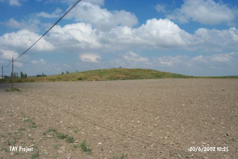 |
|
Type:
|
Mound |
|
Altitude:
|
880 m |
|
Region:
|
Central Anatolia |
|
Province:
|
Eskisehir |
|
District:
|
Seyitgazi |
|
Village:
|
Beykisla |
|
Investigation Method:
|
Survey |
|
Period:
|
EBA II EBA III |
|
|
|
 |
|
| It lies on the Beykisla-Mecidiye motorway; southeast of Beykisla Village; southeast of Eskisehir Province. 150 m east flows the Bardakçi Stream. It was discovered during the Kütahya; Bilecik and Eskisehir survey conducted by T. Efe in 1994. The surface has been damaged by pits. Also foundation remains of a large building are seen. Materials of the Late Chalcolithic Age and the EBA II-III were collected from the surface. It takes place in the registered archaeological sites list prepared by Ministry of Culture and Tourism. |
| Location: |
| Geography and Environment: |
| History: |
| Research and Excavation: |
| Stratigraphy: |
| Small Finds: |
| Remains: |
| Interpretation and Dating: |