|
©The Archaeological Settlements of Turkey - TAY Project
|
|
|
|
|
|
Hosirluk Tepesi / Hösürlük |
|
|
For site maps and drawings please click on the picture...  |
For photographs please click on the photo... 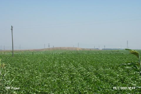 |
|
Type:
|
Mound |
|
Altitude:
|
130 m |
|
Region:
|
Mediterranean |
|
Province:
|
Hatay |
|
District:
|
Kirikhan |
|
Village:
|
Kazkeli |
|
Investigation Method:
|
Survey |
|
Period:
|
|
|
|
|
 |
|
| It lies north of Kazkeli Village; south of Kirikhan District of Hatay Province. It is shallow and small sized mound west of Amuq Plain. East of it passes the motorway between Kumlu and Kirikhan. It was observed and documented in TAYEx 2001 Mediterranean region [TAYEx 22.7.2001]. |
| Location: |
| Geography and Environment: |
| History: |
| Research and Excavation: |
| Stratigraphy: |
| Small Finds: |
| Remains: |
| Interpretation and Dating: |