|
©The Archaeological Settlements of Turkey - TAY Project
|
|
|
|
|
|
Adatepe |
|
|
For site maps and drawings please click on the picture...  |
For photographs please click on the photo... 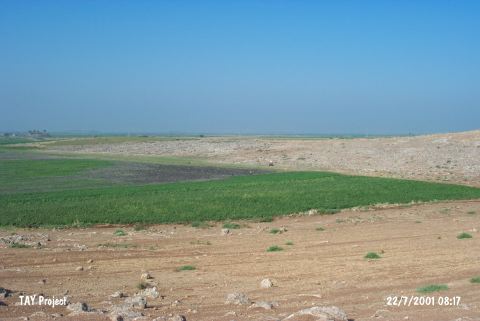 |
|
Type:
|
Upland Settlement |
|
Altitude:
|
150 m |
|
Region:
|
Mediterranean |
|
Province:
|
Hatay |
|
District:
|
Kirikhan |
|
Village:
|
Baspinar |
|
Investigation Method:
|
Survey |
|
Period:
|
|
|
|
|
 |
|
| It lies on a rocky hill called Adatepe; 1.4 km north-northwest of Baspinar Village; southeast of Kirikhan District of Hatay Province. It locates east of Kurt Mountains and faces Amuq Plain in western view. South-southwest of the it lies the mound of Tell Wasfe. This site was observed and documented in TAYEx 2001 Mediterranean region [TAYEx 22.7.2001]. |
| Location: |
| Geography and Environment: |
| History: |
| Research and Excavation: |
| Stratigraphy: |
| Small Finds: |
| Remains: |
| Interpretation and Dating: |