|
©The Archaeological Settlements of Turkey - TAY Project
|
|
|
|
|
|
No Name (Reyhanli) |
|
|
For site maps and drawings please click on the picture...  |
For photographs please click on the photo... 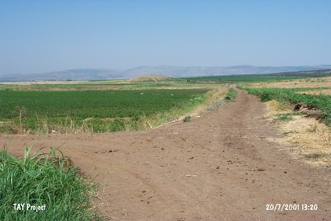 |
|
Type:
|
Mound |
|
Altitude:
|
170 m |
|
Region:
|
Mediterranean |
|
Province:
|
Hatay |
|
District:
|
Reyhanli |
|
Village:
|
|
|
Investigation Method:
|
Survey |
|
Period:
|
|
|
|
|
 |
|
| It lies west of the border station of Selam; southwest of Reyhanli District of Hatay Province. It is located at the southern point of Amuq Plain and very close to Syria. There are small shallow hills south of the mound and its surroundings are cultivated. This site was observed and documented during TAYEx 2001 Mediterranean region [TAYEx 20.7.2001]. |
| Location: |
| Geography and Environment: |
| History: |
| Research and Excavation: |
| Stratigraphy: |
| Small Finds: |
| Remains: |
| Interpretation and Dating: |