|
©The Archaeological Settlements of Turkey - TAY Project
|
|
|
|
|
|
Çakaltepe |
|
|
For site maps and drawings please click on the picture...  |
For photographs please click on the photo... 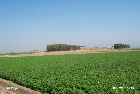 |
|
Type:
|
Mound |
|
Altitude:
|
200 m |
|
Region:
|
Mediterranean |
|
Province:
|
Hatay |
|
District:
|
Reyhanli |
|
Village:
|
Kurtulus |
|
Investigation Method:
|
Survey |
|
Period:
|
|
|
|
|
 |
|
| It lies west of both Kurtulus (Çakaltepe) Village and Reyhanli District of Hatay Province. The site of Büyük Avare lies south of the mound and Küçük Avare southeast. North of it flows Afrin Stream. There is a survey point on top of the shallow mound which extends in north-south direction. This site was observed and documented during TAYEx 2001 Mediterranean region. It takes place in the registered archaeological sites list prepared by Ministry of Culture and Tourism. |
| Location: |
| Geography and Environment: |
| History: |
| Research and Excavation: |
| Stratigraphy: |
| Small Finds: |
| Remains: |
| Interpretation and Dating: |