|
©The Archaeological Settlements of Turkey - TAY Project
|
|
|
|
|
|
No Name (Senirkent / Armutlu) |
|
|
For site maps and drawings please click on the picture...  |
For photographs please click on the photo... 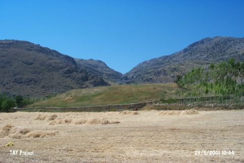 |
|
Type:
|
Mound |
|
Altitude:
|
940 m |
|
Region:
|
Mediterranean |
|
Province:
|
Isparta |
|
District:
|
Sarkikaraagaç |
|
Village:
|
Armutlu |
|
Investigation Method:
|
Survey |
|
Period:
|
|
|
|
|
 |
|
| It lies in Armutlu Plain; 200 m north of Armutlu Village; southwest of Sarkikaraagaç District of Isparta Province. South of the mound is cemetery of the village. It has been observed and documented during TAYEx 2001 Mediterranean region [TAYEx 29.6.2001]. |
| Location: |
| Geography and Environment: |
| History: |
| Research and Excavation: |
| Stratigraphy: |
| Small Finds: |
| Remains: |
| Interpretation and Dating: |