|
©The Archaeological Settlements of Turkey - TAY Project
|
|
|
|
|
|
Benlihasan |
|
|
For site maps and drawings please click on the picture...  |
For photographs please click on the photo... 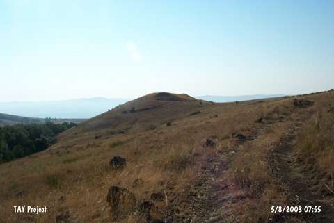 |
|
Type:
|
Slope Settlement |
|
Altitude:
|
1560 m |
|
Region:
|
Central Anatolia |
|
Province:
|
Sivas |
|
District:
|
Sarkisla |
|
Village:
|
Benlihasan |
|
Investigation Method:
|
Survey |
|
Period:
|
|
|
|
|
 |
|
| It stands on a natural hill located 500 m southeast of the village it was named after; northern bank of the Kizilirmak River (The Halys); southwest of Sivas Province. The 1997 Survey of Sivas conducted under T. Ökse yielded sherds dating from the EBA and the Byzantine Periods. The EBA materials were densely recovered from the southern slope of the hill just like the other settlements in the region. |
| Location: |
| Geography and Environment: |
| History: |
| Research and Excavation: |
| Stratigraphy: |
| Small Finds: |
| Remains: |
| Interpretation and Dating: |