|
©The Archaeological Settlements of Turkey - TAY Project
|
|
|
|
|
|
No Name (Korkuteli / Garipçe) |
|
|
For site maps and drawings please click on the picture...  |
For photographs please click on the photo... 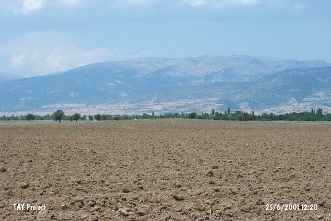 |
|
Type:
|
Mound |
|
Altitude:
|
810 m |
|
Region:
|
Mediterranean |
|
Province:
|
Antalya |
|
District:
|
Korkuteli |
|
Village:
|
Garipçe |
|
Investigation Method:
|
Survey |
|
Period:
|
|
|
|
|
 |
|
| It lies in Kizilyer Mevkii; 3.2 km southwest of Garipçe Village; northeast of Korkuteli District of Antalya. East of the mound a dirt road passes. Its former height is told to be 4-5 m; but today it is approximately 2 m high from the plain level because of agricultural activities. The site has been observed and documented during TAYEx 2001 Mediterranean region [TAYEx 25.6.2001]. |
| Location: |
| Geography and Environment: |
| History: |
| Research and Excavation: |
| Stratigraphy: |
| Small Finds: |
| Remains: |
| Interpretation and Dating: |