|
©The Archaeological Settlements of Turkey - TAY Project
|
|
|
|
|
|
Abdili Yayla Höyük |
|
|
For site maps and drawings please click on the picture...  |
For photographs please click on the photo... 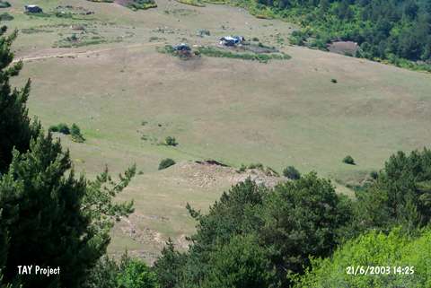 |
|
Type:
|
Mound |
|
Altitude:
|
1480 m |
|
Region:
|
Black Sea |
|
Province:
|
Ordu |
|
District:
|
Mesudiye |
|
Village:
|
Abdili |
|
Investigation Method:
|
Survey |
|
Period:
|
|
|
|
|
 |
|
| The mound lies in the high plateau between the houses of Birebir and Abdili villages; 3.6 km southeast of Firislik quarter; 4.9 km west of the village of Abdili; 30 km northeast of Mesudiye; southeast of Ordu. It was discovered in 1992 during the Ordu-Mesudiye Survey conducted by M. Özsait. The mound was damaged by the road splitting it into two. Pottery of the EBA and the Chalcolithic Age was collected from the surface. |
| Location: |
| Geography and Environment: |
| History: |
| Research and Excavation: |
| Stratigraphy: |
| Small Finds: |
| Remains: |
| Interpretation and Dating: |