|
©The Archaeological Settlements of Turkey - TAY Project
|
|
|
|
|
|
No Name (Korkuteli / Bozova) |
|
|
For site maps and drawings please click on the picture...  |
For photographs please click on the photo... 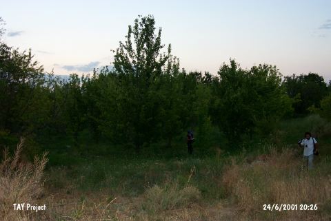 |
|
Type:
|
Mound |
|
Altitude:
|
850 m |
|
Region:
|
Mediterranean |
|
Province:
|
Antalya |
|
District:
|
Korkuteli |
|
Village:
|
Bozova |
|
Investigation Method:
|
Survey |
|
Period:
|
|
|
|
|
 |
|
| It lies 1.2 km north of Bozova Town; north of Korkuteli District of Antalya. It is completely destructed in 1967-69 by the excavations continued under the plain level and the soil removed from the mound used in the construction of Bozova-Çomakli motorway. In 1974 fruit trees planted on the settlement area. It is told that the rather high section on southern part is the skirt of the mound. This site has been observed and documented during TAYEx 2001 Mediterranean region [TAYEx 24.6.2001]. |
| Location: |
| Geography and Environment: |
| History: |
| Research and Excavation: |
| Stratigraphy: |
| Small Finds: |
| Remains: |
| Interpretation and Dating: |