|
©The Archaeological Settlements of Turkey - TAY Project
|
|
|
|
|
|
No Name (Çayirbag) |
|
|
For site maps and drawings please click on the picture...  |
For photographs please click on the photo... 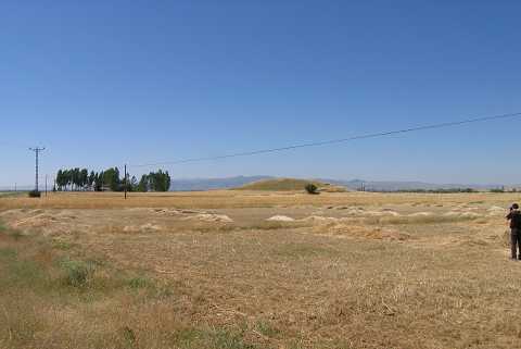 |
|
Type:
|
Mound |
|
Altitude:
|
1025 m |
|
Region:
|
Aegean |
|
Province:
|
Afyonkarahisar |
|
District:
|
Merkez |
|
Village:
|
Çayirbag |
|
Investigation Method:
|
Survey |
|
Period:
|
|
|
|
|
 |
|
| It lies 150 m west of Afyon-Gazligöl motorway; 5 km north-northwest of the village of Çayirbag (Sipsin) Village; 9 km north of the province of Afyon. To its west-northwest flows a stream. The site is locally known as Sinai or Sineci or Sinnecik Höyük. It was observed and documented during TAYEx 2004. The site was re-documented in 2005 during the fieldwork of Phygrian Valley Tourism Zone Project. During the survey potsherds dated to EBA; Hittite and Roman Period were collected. |
| Location: |
| Geography and Environment: |
| History: |
| Research and Excavation: |
| Stratigraphy: |
| Small Finds: |
| Remains: |
| Interpretation and Dating: |