|
©The Archaeological Settlements of Turkey - TAY Project
|
|
|
|
|
|
No Name (Merkez / Asagi Küpkiran) |
|
|
For site maps and drawings please click on the picture...  |
For photographs please click on the photo... 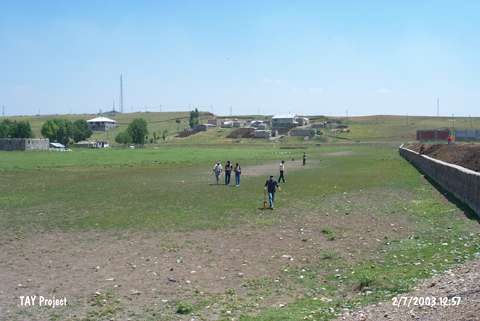 |
|
Type:
|
Mound |
|
Altitude:
|
1645 m |
|
Region:
|
Eastern Anatolia |
|
Province:
|
Agri |
|
District:
|
Merkez |
|
Village:
|
Asagi Küpkiran |
|
Investigation Method:
|
Survey |
|
Period:
|
|
|
|
|
 |
|
| It is located to the southeast of the village of Küpkiran; south of the center district of the province of Agri. The road of Agri-Patnos passes from the west of the settlement. At the present; most of the area is being used as a football field. This site has been observed and documented during TAYEx 2003 Black Sea-Eastern Anatolia regions [TAYEx 2.7.2003]. |
| Location: |
| Geography and Environment: |
| History: |
| Research and Excavation: |
| Stratigraphy: |
| Small Finds: |
| Remains: |
| Interpretation and Dating: |