|
©The Archaeological Settlements of Turkey - TAY Project
|
|
|
|
|
|
No Name (Battalgazi / Kulusagi) |
|
|
For site maps and drawings please click on the picture...  |
For photographs please click on the photo... 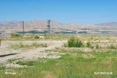 |
|
Type:
|
Mound |
|
Altitude:
|
640 m |
|
Region:
|
Eastern Anatolia |
|
Province:
|
Malatya |
|
District:
|
Battalgazi |
|
Village:
|
Kulusagi |
|
Investigation Method:
|
Survey |
|
Period:
|
|
|
|
|
 |
|
| It lies north of Kulusagi Village; east of Battalgazi District of Malatya Province. Today; the mound locates beside the Karakaya Dam reservoir and it is rather destructed. This site has been observed and documented during TAYEx 2003 Black Sea-Eastern Anatolia regions [TAYEx 21.7.2003]. |
| Location: |
| Geography and Environment: |
| History: |
| Research and Excavation: |
| Stratigraphy: |
| Small Finds: |
| Remains: |
| Interpretation and Dating: |