|
©The Archaeological Settlements of Turkey - TAY Project
|
|
|
|
|
|
Bulamaç Höyük |
|
|
For site maps and drawings please click on the picture...  |
For photographs please click on the photo... 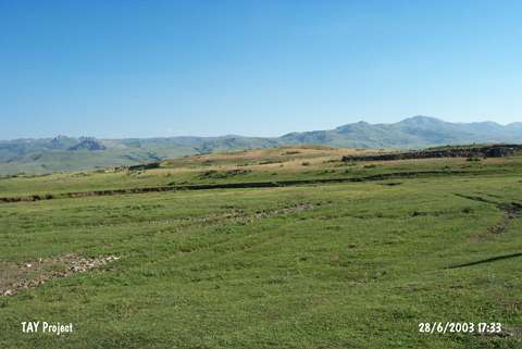 |
|
Type:
|
Mound |
|
Altitude:
|
1720 m |
|
Region:
|
Eastern Anatolia |
|
Province:
|
Erzurum |
|
District:
|
Pasinler |
|
Village:
|
|
|
Investigation Method:
|
Excavation |
|
Period:
|
|
|
|
|
 |
|
| It is located 500 m south of the road of Erzurum-Hasankale and on the 30th km of it; in the district of Pasinler; province of Erzurum. It was discovered in 2001 by A. Ceylan of Atatürk University during the survey of Erzincan; Erzurum and Kars provinces. Pottery sherds belonging to EBA (Karaz type); Iron and Middle ages were collected. Excavations conducted by S. Güneri are started in 2001. The uncovered layers which are contemporary with the layer III of Sos Höyük suggested to be dated to LBA. It takes place in the registered archaeological sites list prepared by Ministry of Culture and Tourism. |
| Location: |
| Geography and Environment: |
| History: |
| Research and Excavation: |
| Stratigraphy: |
| Small Finds: |
| Remains: |
| Interpretation and Dating: |