|
©The Archaeological Settlements of Turkey - TAY Project
|
|
|
|
|
|
Akpinar |
|
|
For site maps and drawings please click on the picture...  |
For photographs please click on the photo... 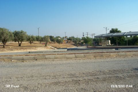 |
|
Type:
|
Mound |
|
Altitude:
|
790 m |
|
Region:
|
Southeastern Anatolia |
|
Province:
|
Kilis |
|
District:
|
Merkez |
|
Village:
|
Merkez |
|
Investigation Method:
|
Survey |
|
Period:
|
|
|
|
|
 |
|
| Akpinar Höyügü lies in Demirciler quarter of Kilis. Its location also called as Iceri Bahce (Sekerin Höyügü). The mound is arranged as a park by Kilis Municipality. A playground; fountain; teahouse and a parking lot built on the mound by cutting its top section. There are olive groves around the mound and a spring on its west skirt. The site has been discovered by a team conducted by E. Özgen in 2000. Collected material is dated to Neolithic; Chalcolithic; EBA; MBA and Hellenistic/Roma Period. It takes place in the registered archaeological sites list prepared by Ministry of Culture and Tourism. |
| Location: |
| Geography and Environment: |
| History: |
| Research and Excavation: |
| Stratigraphy: |
| Small Finds: |
| Remains: |
| Interpretation and Dating: |