|
©The Archaeological Settlements of Turkey - TAY Project
|
|
|
|
|
|
Alkaran Höyük |
|
|
For site maps and drawings please click on the picture...  |
For photographs please click on the photo... 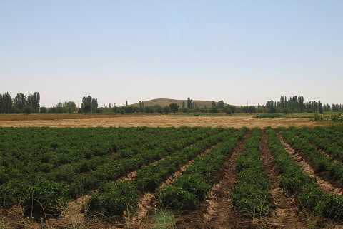 |
|
Type:
|
Mound |
|
Altitude:
|
1115 m |
|
Region:
|
Central Anatolia |
|
Province:
|
Konya |
|
District:
|
Çumra |
|
Village:
|
Yenisu |
|
Investigation Method:
|
Survey |
|
Period:
|
|
|
|
|
 |
|
| It is located in Çarsamba valley; 2 km north-northeast of Yenisu (Alkaran) town of Çumra district of Konya. It was researched in the scope of "Konya and Karaman Region Surveys" by H. Bahar in 2002. It has the dimensions of 500x300x25 m. Late Neolithic; Chalcolithic and EBA pottery sherds collected on the surface of the mound. There are deep trenches on north skirt result of taking away soil. |
| Location: |
| Geography and Environment: |
| History: |
| Research and Excavation: |
| Stratigraphy: |
| Small Finds: |
| Remains: |
| Interpretation and Dating: |