|
©The Archaeological Settlements of Turkey - TAY Project
|
|
|
|
|
|
Hayiroglu |
|
|
For site maps and drawings please click on the picture...  |
For photographs please click on the photo... 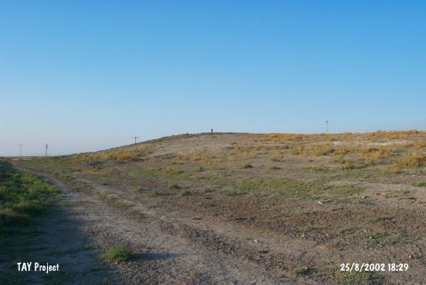 |
|
Type:
|
Mound |
|
Altitude:
|
1050 m |
|
Region:
|
Central Anatolia |
|
Province:
|
Konya |
|
District:
|
Karatay |
|
Village:
|
Hayiroglu |
|
Investigation Method:
|
Survey |
|
Period:
|
|
|
|
|
  |
|
| It lies west-southwest of the village cemetery at the east entrance of Hayıroglu Town of Karatay District of Konya Province. The road coming from the village and joining to Konya-Adana highway passes south-southeast of the mound. It is 75x60x4 m in dimensions. The mound is especially important for Neolithic. It is reported by H. Bahar that the mound is destructed by the road crossing it and by the activities such as taking away soil or opening space for field. Pottery sherds; obsidian and flintstone tools collected on surface. Bahar named the settlement as Boncuklu Höyük. It takes place in the registered archaeological sites list prepared by Ministry of Culture and Tourism. |
| Location: |
| Geography and Environment: |
| History: |
| Research and Excavation: |
| Stratigraphy: |
| Small Finds: |
| Remains: |
| Interpretation and Dating: |

