|
©The Archaeological Settlements of Turkey - TAY Project
|
|
|
|
|
|
Bedram Tepesi |
|
|
For site maps and drawings please click on the picture...  |
For photographs please click on the photo... 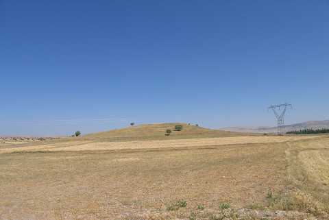 |
|
Type:
|
Mound |
|
Altitude:
|
1245 m |
|
Region:
|
Aegean |
|
Province:
|
Afyonkarahisar |
|
District:
|
Bolvadin |
|
Village:
|
Kemerkaya Kasabasi |
|
Investigation Method:
|
Survey |
|
Period:
|
|
|
|
|
 |
|
| It lies in Bedrem location of Karakaya town of Bolvadin district of Afyon province. Its exact location is 2 km west of Karakaya town; 7 km northwest of Özburun town; 300 m east of Armutarası location; 600 m southeast of Karamankoyağı; 2 km east of Şamdan Tepesi location and 300 m northeast of Göz location. The mound is 30 m in height and its flattened surface has a dimension of 100 m. Plenty of Chalcolithic and EBA pottery sherds encountered. |
| Location: |
| Geography and Environment: |
| History: |
| Research and Excavation: |
| Stratigraphy: |
| Small Finds: |
| Remains: |
| Interpretation and Dating: |