|
©The Archaeological Settlements of Turkey - TAY Project
|
|
|
|
|
|
Bedeller |
|
|
For site maps and drawings please click on the picture...  |
For photographs please click on the photo... 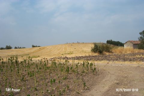 |
|
Type:
|
Mound |
|
Altitude:
|
150 m |
|
Region:
|
Aegean |
|
Province:
|
Manisa |
|
District:
|
Saruhanli |
|
Village:
|
Halitpasa |
|
Investigation Method:
|
Survey |
|
Period:
|
|
|
|
|
 |
|
| It lies in the middle of a small valley; north of Bedeller Village; Halitpasa Sub-District; Manisa Province. To the southwest lies a fresh water spring. To the east are two farm houses; and to the south a village road. The mound is locally known as Örentepe. It was discovered by D.H. French in 1959. Gray-black burnished pottery sherds dating to the EBA were collected from the surface. It was researched again by E. Akdeniz et al. in 2007 and EBA, MBA and LBA sherds were found. The mound is also known as Örentepe Mound [Akdeniz 2009:259]. |
| Location: |
| Geography and Environment: |
| History: |
| Research and Excavation: |
| Stratigraphy: |
| Small Finds: |
| Remains: |
| Interpretation and Dating: |