|
©The Archaeological Settlements of Turkey - TAY Project
|
|
|
|
|
|
Bahçehisar |
|
|
For site maps and drawings please click on the picture...  |
For photographs please click on the photo... 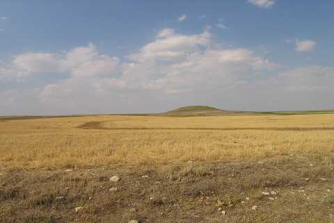 |
|
Type:
|
Mound |
|
Altitude:
|
1085 m |
|
Region:
|
Central Anatolia |
|
Province:
|
Konya |
|
District:
|
Kulu |
|
Village:
|
Bahçehisar Yaylasi |
|
Investigation Method:
|
Survey |
|
Period:
|
|
|
|
|
 |
|
| It is in Bahçehisar Yaylasi, about 7.7 km south of the district of Kulu in the province of Konya. It measures 155 m in north-south and 137 m in east-west directions, and is 18 m high. On the southern edge of the mound is a 10 m high terrace and to the south of it a stream running in the west-east direction. The settlement is damaged by illicit diggings. It was discovered in 1992, during the survey of Central Anatolia conducted by S. Omura. Sherds dating to the Early, Middle, Late Bronze and Iron ages were collected. It was researched again during the survey performed by S. Omura in 2004. The dimensions of the mound are : 85 m in north-south direction, 126 m in east-west direction, it is 13 m high. Chalcolithic, EBA, LBA and Roman Period material was collected from surface [Omura 2008:214, 220]. It takes place in the registered archaeological sites list prepared by Ministry of Culture and Tourism. |
| Location: |
| Geography and Environment: |
| History: |
| Research and Excavation: |
| Stratigraphy: |
| Small Finds: |
| Remains: |
| Interpretation and Dating: |