|
©The Archaeological Settlements of Turkey - TAY Project
|
|
|
|
|
|
Bayramhoca Sayasi |
|
|
For site maps and drawings please click on the picture...  |
For photographs please click on the photo... 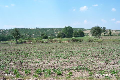 |
|
Type:
|
Mound |
|
Altitude:
|
235 m |
|
Region:
|
Marmara |
|
Province:
|
Balikesir |
|
District:
|
Ivrindi |
|
Village:
|
Merkez |
|
Investigation Method:
|
Survey |
|
Period:
|
|
|
|
|
 |
|
| It lies 1.5 km north of Ivrindi District; 35 km west of Balikesir Province. To the north is the Madra stream flowing in the east-west direction. Bayramhoca farm is in this area and it is locally known as Aktas Mevkii. This area was discovered in 1987 during the Balikesir Survey conducted by M. Özdogan. Only EBA pottery was collected from the surface. The mound has been damaged due to terracing. Code K7/2. |
| Location: |
| Geography and Environment: |
| History: |
| Research and Excavation: |
| Stratigraphy: |
| Small Finds: |
| Remains: |
| Interpretation and Dating: |