|
©The Archaeological Settlements of Turkey - TAY Project
|
|
|
|
|
|
Bayindir |
|
|
For site maps and drawings please click on the picture...  |
For photographs please click on the photo... 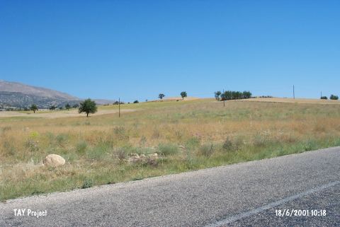 |
|
Type:
|
Flat Settlement |
|
Altitude:
|
1110 m |
|
Region:
|
Mediterranean |
|
Province:
|
Antalya |
|
District:
|
Elmali |
|
Village:
|
Bayindir |
|
Investigation Method:
|
Survey |
|
Period:
|
Middle |
|
|
|
 |
|
| The site lies approximately 1 km east of Bayindir Village; northwest of Korkuteli-Elmali motorway; northeast of Elmali District of Antalya. The collected sherds from the surface resemble Kizilbel pottery which is more or less the same with the Late Neolithic Age pottery of the region. It takes place in the registered archaeological sites list prepared by Ministry of Culture and Tourism. |
| Location: |
| Geography and Environment: |
| History: |
| Research and Excavation: |
| Stratigraphy: |
| Small Finds: |
| Remains: |
| Interpretation and Dating: |