|
©The Archaeological Settlements of Turkey - TAY Project
|
|
|
|
|
|
Bayat |
|
|
For site maps and drawings please click on the picture...  |
For photographs please click on the photo... 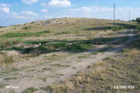 |
|
Type:
|
Mound |
|
Altitude:
|
1110 m |
|
Region:
|
Central Anatolia |
|
Province:
|
Nigde |
|
District:
|
Bor |
|
Village:
|
Bayat |
|
Investigation Method:
|
Survey |
|
Period:
|
|
|
|
|
 |
|
| It lies within the fields on the west of Bayat-Altunhisar motorway, 2-3 km away from Bayat Village in Bor District of Nigde Province. The settlement appears in the Nigde Culture Inventory which was achieved after the surveys organized by the Nigde Province Culture and Tourism Directorship in 2009. The mound is about 120 m in diameter and 10 m in height. The collected sherds from the surface indicate that the site was densely occupied in Chalcolithic. |
| Location: |
| Geography and Environment: |
| History: |
| Research and Excavation: |
| Stratigraphy: |
| Small Finds: |
| Remains: |
| Interpretation and Dating: |