|
©The Archaeological Settlements of Turkey - TAY Project
|
|
|
|
|
|
Bayat Höyük |
|
|
For site maps and drawings please click on the picture...  |
For photographs please click on the photo... 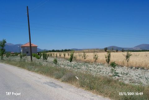 |
|
Type:
|
Mound |
|
Altitude:
|
800 m |
|
Region:
|
Mediterranean |
|
Province:
|
Antalya |
|
District:
|
Korkuteli |
|
Village:
|
Bayat |
|
Investigation Method:
|
Survey |
|
Period:
|
EBA II |
|
|
|
 |
|
| It lies south of Bayat Village; east of Korkuteli; northwest of Antalya Province. It was discovered by J. Mellaart. It is an EBA II settlement. It is close to the southern end of the Bozova Plain; and situated on the western side of a stream. It takes place in the registered archaeological sites list prepared by Ministry of Culture and Tourism. |
| Location: |
| Geography and Environment: |
| History: |
| Research and Excavation: |
| Stratigraphy: |
| Small Finds: |
| Remains: |
| Interpretation and Dating: |