|
©The Archaeological Settlements of Turkey - TAY Project
|
|
|
|
|
|
Bastepe |
|
|
For site maps and drawings please click on the picture...  |
For photographs please click on the photo... 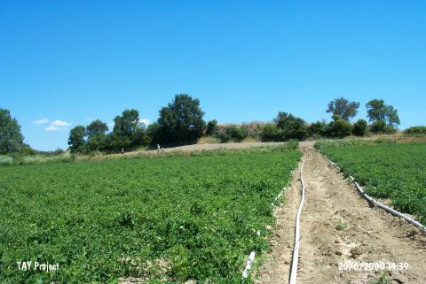 |
|
Type:
|
Mound |
|
Altitude:
|
32 m |
|
Region:
|
Marmara |
|
Province:
|
Çanakkale |
|
District:
|
Eceabat |
|
Village:
|
Yalova |
|
Investigation Method:
|
Survey |
|
Period:
|
Late |
|
|
|
 |
|
| It is located 2 km northwest of Akbas Sehitligi; 2 km south of the village of Yalova (Yaluva/Yalakoba); northeast of Eceabat; north of Çanakkale. The 7 m high; 150x60 m mound lies on the eastern terraces of Yaluva Stream. Immediately north of it is the Sazpinar fountain that is fed from a water source nearby. It was discovered by M. Özdogan in 1982. The site is badly damaged because of the pits dug illicitly. The surface finds indicate all the levels between Kumtepe Ib phase and Troia V Phase. The location code of the site is H 2/15. It takes place in the registered archaeological sites list prepared by Ministry of Culture and Tourism. |
| Location: |
| Geography and Environment: |
| History: |
| Research and Excavation: |
| Stratigraphy: |
| Small Finds: |
| Remains: |
| Interpretation and Dating: |