|
©The Archaeological Settlements of Turkey - TAY Project
|
|
|
|
|
|
Basmakçi |
|
|
For site maps and drawings please click on the picture...  |
For photographs please click on the photo... 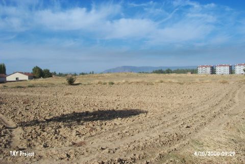 |
|
Type:
|
Mound |
|
Altitude:
|
900 m |
|
Region:
|
Aegean |
|
Province:
|
Afyonkarahisar |
|
District:
|
Basmakçi |
|
Village:
|
Merkez |
|
Investigation Method:
|
Survey |
|
Period:
|
EBA II |
|
|
|
 |
|
| It lies about 103 km southwest of Afyonkarahisar Province; 2.2 km northwest of Basmakçi District. It is located southwest of Dinar; on the northeastern end of the Lake Acigöl. In the 1:200.000 map; there is a sign of mound 1.5 km southeast of Basmakci Village. The site is a flat and shallow mound in the middle of a flat area. It was discovered by J. Mellaart. The surface collection carried out by D.H. French yielded an EBA II settlement. Since it is located near Basmakci Sub-District; it is under the threat of this modern settlement. A school and modern apartments were built on the foothill. It takes place in the registered archaeological sites list prepared by Ministry of Culture and Tourism. |
| Location: |
| Geography and Environment: |
| History: |
| Research and Excavation: |
| Stratigraphy: |
| Small Finds: |
| Remains: |
| Interpretation and Dating: |