|
©The Archaeological Settlements of Turkey - TAY Project
|
|
|
|
|
|
Yukaribük Yayla Höyük |
|
|
For site maps and drawings please click on the picture...  |
For photographs please click on the photo... 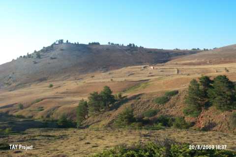 |
|
Type:
|
Mound |
|
Altitude:
|
1480 m |
|
Region:
|
Black Sea |
|
Province:
|
Samsun |
|
District:
|
Vezirköprü |
|
Village:
|
Duruçay |
|
Investigation Method:
|
Survey |
|
Period:
|
|
|
|
|
 |
|
| It lies in Çorak Gölü Mevkii at Yukarıbük Valley 3 km northeast of Yukarıbük Village; southeast of Duruçay Village; in the district of Vezirköprü; province of Samsun. A few amount of pottery sherds found at the EBA settlement on a natural hill. |
| Location: |
| Geography and Environment: |
| History: |
| Research and Excavation: |
| Stratigraphy: |
| Small Finds: |
| Remains: |
| Interpretation and Dating: |