|
©The Archaeological Settlements of Turkey - TAY Project
|
|
|
|
|
|
Bardakçitepe |
|
|
For site maps and drawings please click on the picture...  |
For photographs please click on the photo... 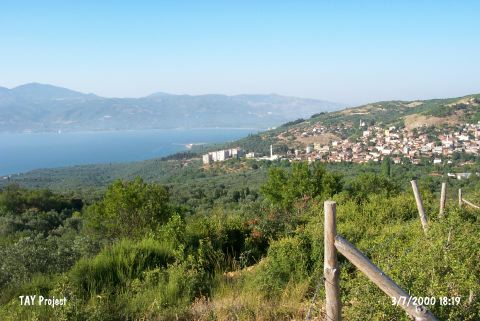 |
|
Type:
|
Mound |
|
Altitude:
|
148 m |
|
Region:
|
Marmara |
|
Province:
|
Balikesir |
|
District:
|
Bandirma |
|
Village:
|
Edincik |
|
Investigation Method:
|
Survey |
|
Period:
|
|
|
|
|
 |
|
| It is located on the Erdek road; north of Edincik Village; north of Balikesir Province. It stands on a natural hill. It is locally known as Bardaklitepe. It was discovered in 1989 during the Balikesir Survey conducted by M. Özdogan. Collected material exposes that the site had been occupied from the Mid Chalcolithic Age to the EBA. Also reported by M. Özdogan is the presence of finds dating from the second millennium BC and later periods. It has been severely destroyed due to the road construction; modern buildings and terracing. Code G 8/1. |
| Location: |
| Geography and Environment: |
| History: |
| Research and Excavation: |
| Stratigraphy: |
| Small Finds: |
| Remains: |
| Interpretation and Dating: |