|
©The Archaeological Settlements of Turkey - TAY Project
|
|
|
|
|
|
Barcin |
|
|
For site maps and drawings please click on the picture...  |
For photographs please click on the photo... 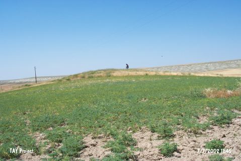 |
|
Type:
|
Mound |
|
Altitude:
|
835 m |
|
Region:
|
Central Anatolia |
|
Province:
|
Ankara |
|
District:
|
Ayas |
|
Village:
|
Oltan |
|
Investigation Method:
|
Survey |
|
Period:
|
|
|
|
|
 |
|
| It lies next to the Oltan-Sarioba motorway; 11 km northeast of Sanoba Village; 6 km southwest of Oltan Village of Ayas District of Ankara Province. It was discovered during the survey conducted by the Kaman excavation team under S. Omura. Presence of sherds datable to the EBA is reported. It is a very flat mound. It is 1.6 m high. It measures 106x77 m in dimensions according to the distribution of the pottery. It takes place in the registered archaeological sites list prepared by Ministry of Culture and Tourism. |
| Location: |
| Geography and Environment: |
| History: |
| Research and Excavation: |
| Stratigraphy: |
| Small Finds: |
| Remains: |
| Interpretation and Dating: |