|
©The Archaeological Settlements of Turkey - TAY Project
|
|
|
|
|
|
Ören Tepe |
|
|
For site maps and drawings please click on the picture...  |
For photographs please click on the photo... 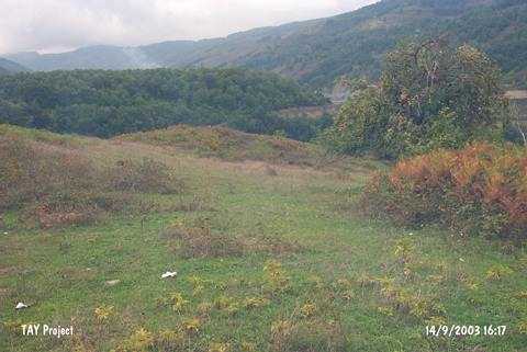 |
|
Type:
|
Slope Settlement |
|
Altitude:
|
310 m |
|
Region:
|
Black Sea |
|
Province:
|
Sinop |
|
District:
|
Erfelek |
|
Village:
|
Mescitdüzü |
|
Investigation Method:
|
Survey |
|
Period:
|
|
|
|
|
 |
|
| It lies in the village of Mescitdüzü in the district of Erfelek; province of Sinop. To its north is the road between Erfelek and the dam; to its northeast the Avarmut quarter of Mescitdüzü and td its southeast the village of Horzu. It consists of two hills measuring 90x60 m and 70x50 m. The upper hill with the height of 6 m includes EBA; the lower one with the height of 5 m Roman ceramics. It takes place in the registered archaeological sites list prepared by Ministry of Culture and Tourism. |
| Location: |
| Geography and Environment: |
| History: |
| Research and Excavation: |
| Stratigraphy: |
| Small Finds: |
| Remains: |
| Interpretation and Dating: |