|
©The Archaeological Settlements of Turkey - TAY Project
|
|
|
|
|
|
Mezarlik Tepe |
|
|
For site maps and drawings please click on the picture...  |
For photographs please click on the photo... 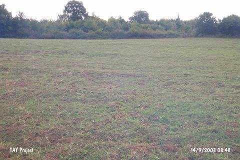 |
|
Type:
|
Mound |
|
Altitude:
|
95 m |
|
Region:
|
Black Sea |
|
Province:
|
Sinop |
|
District:
|
Merkez |
|
Village:
|
Yaliköy |
|
Investigation Method:
|
Survey |
|
Period:
|
|
|
|
|
 |
|
| It lies north of Kurudere Valley valley; 1.2 km south of Yaliköy Village; south of Sinop. It measures about 75x50 m in length; 6 m in height and has yielded ceramics belonging to EBA. It was revisited by Doonan et al. in 2006 [Doonan et al. 2008:135]. Mezarlık Tepe has been suggested to be on of the earliest sites in the Sinop region; with typological paralells drawn to some ceramics as early as the 5th millenium BC. The chronology of this site is problematic in light of the diverse pottery assemblages. Samples were taken from five areas in order to clarify whether different parts of the site might fall into significantly different chronological periods. results are still tentative but suggest a somewhat later date (mid-3rd millenium BCE) than previously estimated. Closer observations of the distribution of potery and other evidence on the surface suggest that continued plowing thee is significantly threatening what remains of teh site. On teh north side of the site large pieces of floor plaster have been plowed up sugegsting that the ancient floor surfaces are being destroyed [Doonan et al. 2008.135]. It takes place in the registered archaeological sites list prepared by Ministry of Culture and Tourism. |
| Location: |
| Geography and Environment: |
| History: |
| Research and Excavation: |
| Stratigraphy: |
| Small Finds: |
| Remains: |
| Interpretation and Dating: |