|
©The Archaeological Settlements of Turkey - TAY Project
|
|
|
|
|
|
Kabayar Höyük |
|
|
For site maps and drawings please click on the picture...  |
For photographs please click on the photo... 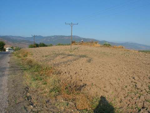 |
|
Type:
|
Mound |
|
Altitude:
|
330 m |
|
Region:
|
Black Sea |
|
Province:
|
Amasya |
|
District:
|
Tasova |
|
Village:
|
Uluköy |
|
Investigation Method:
|
Survey |
|
Period:
|
|
|
|
|
 |
|
| It lies on the bank of Yesilirmak River; on the Mülkbükü-Umutlu road; about 3 km southeast of the village of Uluköy (Sonusa); in the district of Tasova; province of Amasya. The northern section was destructed by the road; southern by the river and the surface by agriculture. It measures 150x50 m in diameter and about 5 m in height. Pottery sherds belonging to EBA; MBA; Late Iron Age and Hellenistic Period were collected from the surface. |
| Location: |
| Geography and Environment: |
| History: |
| Research and Excavation: |
| Stratigraphy: |
| Small Finds: |
| Remains: |
| Interpretation and Dating: |