|
©The Archaeological Settlements of Turkey - TAY Project
|
|
|
|
|
|
Gavur Kalesi |
|
|
For site maps and drawings please click on the picture...  |
For photographs please click on the photo... 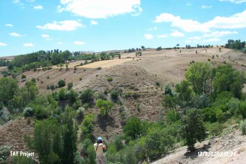 |
|
Type:
|
Mound |
|
Altitude:
|
1010 m |
|
Region:
|
Black Sea |
|
Province:
|
Tokat |
|
District:
|
Zile |
|
Village:
|
Savci |
|
Investigation Method:
|
Survey |
|
Period:
|
|
|
|
|
 |
|
| The site is on the bank of the Gödellez Stream; 1.1 km southwest of the village of Savci; which is 14 km southwest of the district of Zile in the province of Tokat. Northwest of the site Yesilce-Savci road passes. The mound which measures 70 m in diameter and 65 m in height from the bank of the stream; was destructed by illicit digging. On the surface; Late Chalcolithic; EBA; 2nd millennium BC; Iron Age and Roman ceramics were encountered. |
| Location: |
| Geography and Environment: |
| History: |
| Research and Excavation: |
| Stratigraphy: |
| Small Finds: |
| Remains: |
| Interpretation and Dating: |