|
©The Archaeological Settlements of Turkey - TAY Project
|
|
|
|
|
|
Cebecioglu Tepesi |
|
|
For site maps and drawings please click on the picture...  |
For photographs please click on the photo... 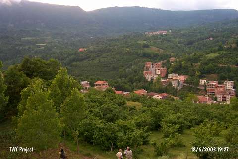 |
|
Type:
|
Slope Settlement |
|
Altitude:
|
395 m |
|
Region:
|
Black Sea |
|
Province:
|
Ordu |
|
District:
|
Kumru |
|
Village:
|
Karacali |
|
Investigation Method:
|
Survey |
|
Period:
|
|
|
|
|
 |
|
| It is located to the east of Derebogazi stream in the village of Karacali; 200 m south of the district of Kumru in the province of Ordu. During the investigation of the site; pottery sherds belonging to the EBA were found on the ridge where the tumuli is located; on the river bed to the northwestern section. It is difficult to determine the measurements of the settlement of which the western section is completely destructed by the stream. |
| Location: |
| Geography and Environment: |
| History: |
| Research and Excavation: |
| Stratigraphy: |
| Small Finds: |
| Remains: |
| Interpretation and Dating: |