|
©The Archaeological Settlements of Turkey - TAY Project
|
|
|
|
|
|
Besiktepe |
|
|
For site maps and drawings please click on the picture...  |
For photographs please click on the photo... 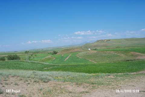 |
|
Type:
|
Mound |
|
Altitude:
|
1670 m |
|
Region:
|
Eastern Anatolia |
|
Province:
|
Erzurum |
|
District:
|
Pasinler |
|
Village:
|
Tepecik |
|
Investigation Method:
|
Survey |
|
Period:
|
|
|
|
|
 |
|
| It is located 900 m east of the village of Tepecik in the district of Pasinler; 9 km east of Hasankale and east of the province of Erzurum. It is in front of the Alibaba Mountain which is the extension of the Sahvelet mountains that form the southeastern border of Pasinler Plain. The mound; which measures approximately 50x20 m; is surrounded by lawns and planted fields. It was discovered in 2001 by A. Ceylan of Atatürk University during the survey of Erzincan; Erzurum and Kars provinces. Pottery sherds belonging to EBA (Karaz type); Iron and Middle ages were collected. |
| Location: |
| Geography and Environment: |
| History: |
| Research and Excavation: |
| Stratigraphy: |
| Small Finds: |
| Remains: |
| Interpretation and Dating: |