|
©The Archaeological Settlements of Turkey - TAY Project
|
|
|
|
|
|
Batiören |
|
|
For site maps and drawings please click on the picture...  |
For photographs please click on the photo... 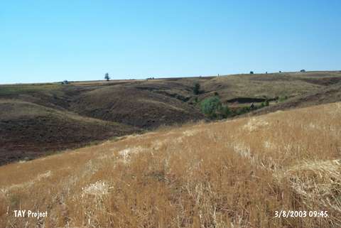 |
|
Type:
|
Slope Settlement |
|
Altitude:
|
1370 m |
|
Region:
|
Central Anatolia |
|
Province:
|
Sivas |
|
District:
|
Gemerek |
|
Village:
|
Tatlipinar |
|
Investigation Method:
|
Survey |
|
Period:
|
|
|
|
|
 |
|
| It lies 1 km south of the village of Tatlipinar (Kirikli) in the district of Gemerek; province of Sivas. On the field measuring 1 hectare located on the western slope of the valley; is a settlement including Chalcolithic; Iron Age and Byzantine periods. |
| Location: |
| Geography and Environment: |
| History: |
| Research and Excavation: |
| Stratigraphy: |
| Small Finds: |
| Remains: |
| Interpretation and Dating: |