|
©The Archaeological Settlements of Turkey - TAY Project
|
|
|
|
|
|
Argaz Agillari |
|
|
For site maps and drawings please click on the picture...  |
For photographs please click on the photo... 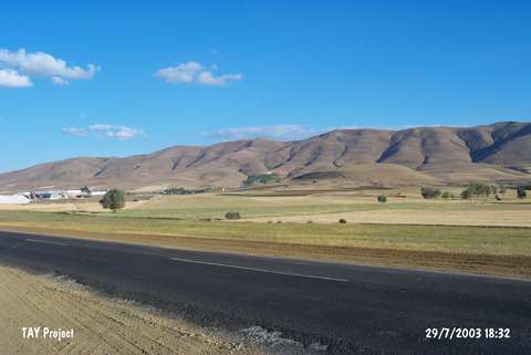 |
|
Type:
|
Mound |
|
Altitude:
|
1350 m |
|
Region:
|
Central Anatolia |
|
Province:
|
Sivas |
|
District:
|
Yildizeli |
|
Village:
|
Ilica |
|
Investigation Method:
|
Survey |
|
Period:
|
|
|
|
|
 |
|
| The site is on the east bank of Argaz Stream; 4-5 km northeast of the district of Yildizeli in the province of Sivas. The settlement consists of a mound and a terrace on its north which lie on a wide plain. West of the mound Ilica Village and Yildizeli-Tokat motorway takes place. The village of Argaz Agillari is located on the southern edge of the section on the terrace. This section; where the village is located; was destructed during the construction of the houses. On the southern and western foots of the mound; a ditch was dug in order to bring water from the Argaz Stream to irrigate the fields. The pottery sherds collected from the surface belong to EBA; MBA and Iron Age. |
| Location: |
| Geography and Environment: |
| History: |
| Research and Excavation: |
| Stratigraphy: |
| Small Finds: |
| Remains: |
| Interpretation and Dating: |