|
©The Archaeological Settlements of Turkey - TAY Project
|
|
|
|
|
|
Ardiçlik |
|
|
For site maps and drawings please click on the picture...  |
For photographs please click on the photo... 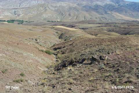 |
|
Type:
|
Slope Settlement |
|
Altitude:
|
1330 m |
|
Region:
|
Central Anatolia |
|
Province:
|
Sivas |
|
District:
|
Gemerek |
|
Village:
|
Kocaoglu |
|
Investigation Method:
|
Survey |
|
Period:
|
|
|
|
|
 |
|
| It lies on a plateau skirt; 1.5 km north of the village of Kocaoglu in the district of Gemerek; province of Sivas. The location of the site; which lies north of Kocaoglu Village; south of Kurtini and Hançer streams is Dervisin Kavagi. Chalcolithic pottery sherds were collected from the area which is being used for agriculture. |
| Location: |
| Geography and Environment: |
| History: |
| Research and Excavation: |
| Stratigraphy: |
| Small Finds: |
| Remains: |
| Interpretation and Dating: |