|
©The Archaeological Settlements of Turkey - TAY Project
|
|
|
|
|
|
Alkaya |
|
|
For site maps and drawings please click on the picture...  |
For photographs please click on the photo... 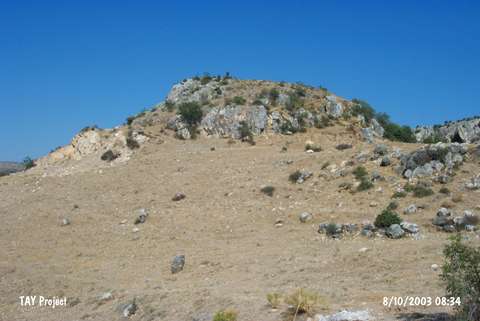 |
|
Type:
|
Mound |
|
Altitude:
|
1610 m |
|
Region:
|
Black Sea |
|
Province:
|
Tokat |
|
District:
|
Zile |
|
Village:
|
Edeköy |
|
Investigation Method:
|
Survey |
|
Period:
|
|
|
|
|
 |
|
| It is located southeast of the village of Edeköy; 12 km east of the district of Zile in the province of Tokat. It lies on the rocky ridge immediately north of the Zile-Turhal motorway and railroad; 200 m northwest of Üzüm Yayla turnout. It is 8 m above the road and measures 50x60 m. EBA; MBA and Iron Age materials were found on the surface. It is also known as Agilkaya. It was researched again in the scope of "Tokat Province; Zile and Turhal Districts Surveys". It was found that the settlement which was seriously devastated due to structuring and illicit digging; was actually larger than the previous measurements (120x80 m). The pottery found on the surface show the presence of previous settlements in EBA; MBA; and IA [Özsait 2007:453-454]. |
| Location: |
| Geography and Environment: |
| History: |
| Research and Excavation: |
| Stratigraphy: |
| Small Finds: |
| Remains: |
| Interpretation and Dating: |