|
©The Archaeological Settlements of Turkey - TAY Project
|
|
|
|
|
|
Alancik Tepe |
|
|
For site maps and drawings please click on the picture...  |
For photographs please click on the photo... 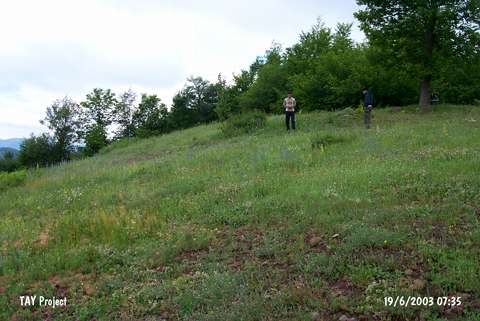 |
|
Type:
|
Upland Settlement |
|
Altitude:
|
955 m |
|
Region:
|
Black Sea |
|
Province:
|
Ordu |
|
District:
|
Kumru |
|
Village:
|
Bali |
|
Investigation Method:
|
Survey |
|
Period:
|
|
|
|
|
 |
|
| This site is located in the village of Bali; 9 km southwest of the district of Kumru in the province of Ordu. It is in the Erik Dibi Mevkii; which has a steep location. 700 m northeast of the village and 400 m east of Kumru-Konakli motorway. The site is locally known as Alancik Kayasi. The western section of this EBA settlement is surrounded by precipices. Its borders were not determined and no architectural remains were encountered. |
| Location: |
| Geography and Environment: |
| History: |
| Research and Excavation: |
| Stratigraphy: |
| Small Finds: |
| Remains: |
| Interpretation and Dating: |