|
©The Archaeological Settlements of Turkey - TAY Project
|
|
|
|
|
|
Aksungur 2 |
|
|
For site maps and drawings please click on the picture...  |
For photographs please click on the photo... 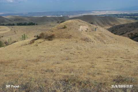 |
|
Type:
|
Upland Settlement |
|
Altitude:
|
810 m |
|
Region:
|
Black Sea |
|
Province:
|
Amasya |
|
District:
|
Merzifon |
|
Village:
|
Aksungur |
|
Investigation Method:
|
Survey |
|
Period:
|
|
|
|
|
 |
|
| This site is located in Maltepe Mevkii; about 1.5 km southeast of the village of Aksungur in the district of Merzifon; province of Amasya. It is an EBA settlement that lies on the western slope of the natural ridge; over which the tumuli of Maltepe takes place; and extends towards the stream on the lower section. |
| Location: |
| Geography and Environment: |
| History: |
| Research and Excavation: |
| Stratigraphy: |
| Small Finds: |
| Remains: |
| Interpretation and Dating: |