|
©The Archaeological Settlements of Turkey - TAY Project
|
|
|
|
|
|
Akdogan - Kale Tepe |
|
|
For site maps and drawings please click on the picture...  |
For photographs please click on the photo... 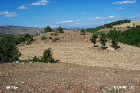 |
|
Type:
|
Mound |
|
Altitude:
|
1040 m |
|
Region:
|
Black Sea |
|
Province:
|
Tokat |
|
District:
|
Zile |
|
Village:
|
Akdogan |
|
Investigation Method:
|
Survey |
|
Period:
|
|
|
|
|
 |
|
| It is located 1.2 km south-southwest of Akdogan Village; 10 km west of Zile district of Tokat. North of the mound Zuvaklik Mevkii; east of it Dayininoglu Esme and west of it Kayalı Stream takes place. The site is 100 m in dimension and its height is 40 m as to the Kayalı Stream; 35 m as to the plain base. It is rather destructed by treasure hunters. Surface finds are consist of Late Chalcolithic; EBA; 2nd Millennium BC and Iron Age pottery sherds. It was researched again within the scope of the "Tokat province; Zile and Turhal districts survey" performed by M. Özsait et al. in 2005 and found that it was seriously destructed [Özsait 2007:456]. It takes place in the registered archaeological sites list prepared by Ministry of Culture and Tourism. |
| Location: |
| Geography and Environment: |
| History: |
| Research and Excavation: |
| Stratigraphy: |
| Small Finds: |
| Remains: |
| Interpretation and Dating: |