|
©The Archaeological Settlements of Turkey - TAY Project
|
|
|
|
|
|
Agadere Mevkii |
|
|
For site maps and drawings please click on the picture...  |
For photographs please click on the photo... 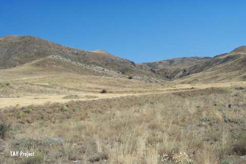 |
|
Type:
|
Mound |
|
Altitude:
|
1150 m |
|
Region:
|
Central Anatolia |
|
Province:
|
Sivas |
|
District:
|
Gemerek |
|
Village:
|
Karagöl |
|
Investigation Method:
|
Survey |
|
Period:
|
|
|
|
|
 |
|
| It is located in Karagöl village of Sarkisla district of Sivas. It lies south of Kizilirmak stream on a steep hill 4 km west of the Sarc Village. It is 5-6 m in height and 250 m in diameter. The west slope of the mound is damaged by landslide. It is a Chalcolithic and Roman-Byzantine Period settlement discovered by T. Ökse in 1999. |
| Location: |
| Geography and Environment: |
| History: |
| Research and Excavation: |
| Stratigraphy: |
| Small Finds: |
| Remains: |
| Interpretation and Dating: |