|
©The Archaeological Settlements of Turkey - TAY Project
|
|
|
|
|
|
Gavur Tepesi |
|
|
For site maps and drawings please click on the picture...  |
For photographs please click on the photo... 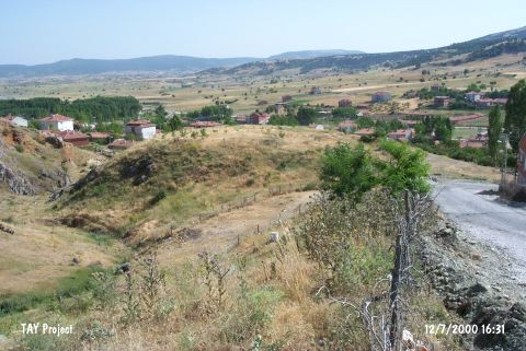 |
|
Type:
|
Mound |
|
Altitude:
|
100 m |
|
Region:
|
Marmara |
|
Province:
|
Bilecik |
|
District:
|
Bozüyük |
|
Village:
|
Dodurga |
|
Investigation Method:
|
Survey |
|
Period:
|
|
|
|
|
 |
|
| It lies on a rocky hill immediately east of the village of Dodurga in the Bozüyük district of Bilecik province. It was discovered by T. Efe in 1988; during his research in the region. The settlement; which has yielded 3rd and 2nd millennium material and has a fairly thin cultural layer; was destructed and the virgin soil can be seen in some areas. Efe has mentioned the possibility of another settlement located in the garden to the north. It takes place in the registered archaeological sites list prepared by Ministry of Culture and Tourism. |
| Location: |
| Geography and Environment: |
| History: |
| Research and Excavation: |
| Stratigraphy: |
| Small Finds: |
| Remains: |
| Interpretation and Dating: |